


Start the trip.
The map fills in.
Interstate Tracker matches your drive against real Interstate geometry and fills in the stretches you’ve covered. No check-ins, no remembering which roads you took.
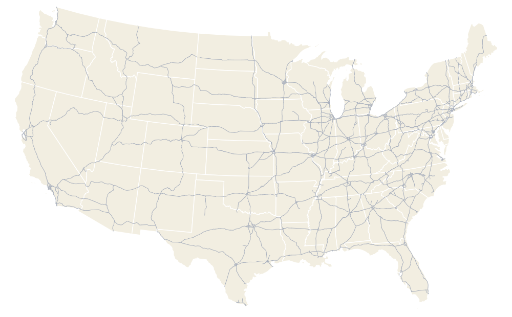
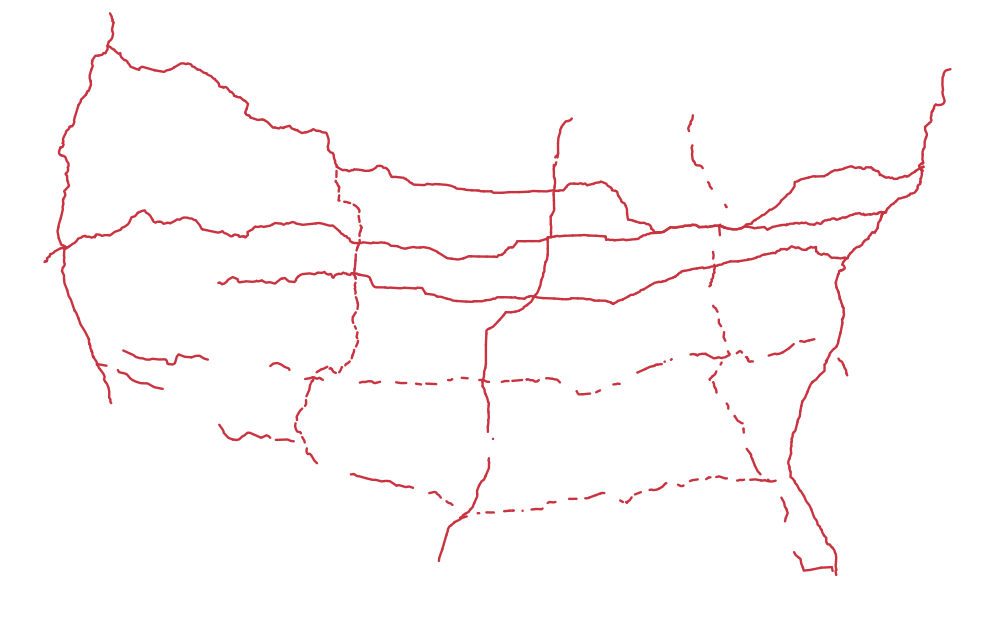







- GPS-verified
- solid red line
- Manual claim
- dashed red line
- Not driven
- gray line
Real geometry, Census TIGER/Line · coverage illustrative
 ≈ 3,086
Matched to the road itself
Your trace is matched against the Interstate’s own geometry — centerlines built from Census TIGER/Line data — and the miles come from the exits it passed.
Works without a signal
All 226 routes and 48,964 reference miles ship inside the app, so your drive is matched on the phone. Dead zones and mountain passes don’t interrupt it, and recording never waits for a connection.
Bring drives you already have
Import GPX on the phone from drives you recorded with something else and they count the same way. Export runs the other way: everything as JSON, or any single trip as GPX.
Clinched, exit to exit.
While you drive, the live card names the road you’re on and what is ahead — the next state line, terminus or Interstate junction. Each stretch you clinch is announced as you pass the exit that closes it. Credit runs exit to exit: drive a stretch once and it’s clinched, the map fills in, and your total climbs by the miles the signs say.
Trips you add by hand, or import from GPX on the phone, count the same way, and every number says where it came from.
Your driving data is yours
The app records only the trips you start, and shows a notification the whole time it’s recording. You can export everything and delete any trip whenever you want. No analytics, no advertising.
Without an account, your trips stay on your phone. With one, each finished trip syncs so you can see it in the web app too, and deleting a trip in either place deletes it in both.